

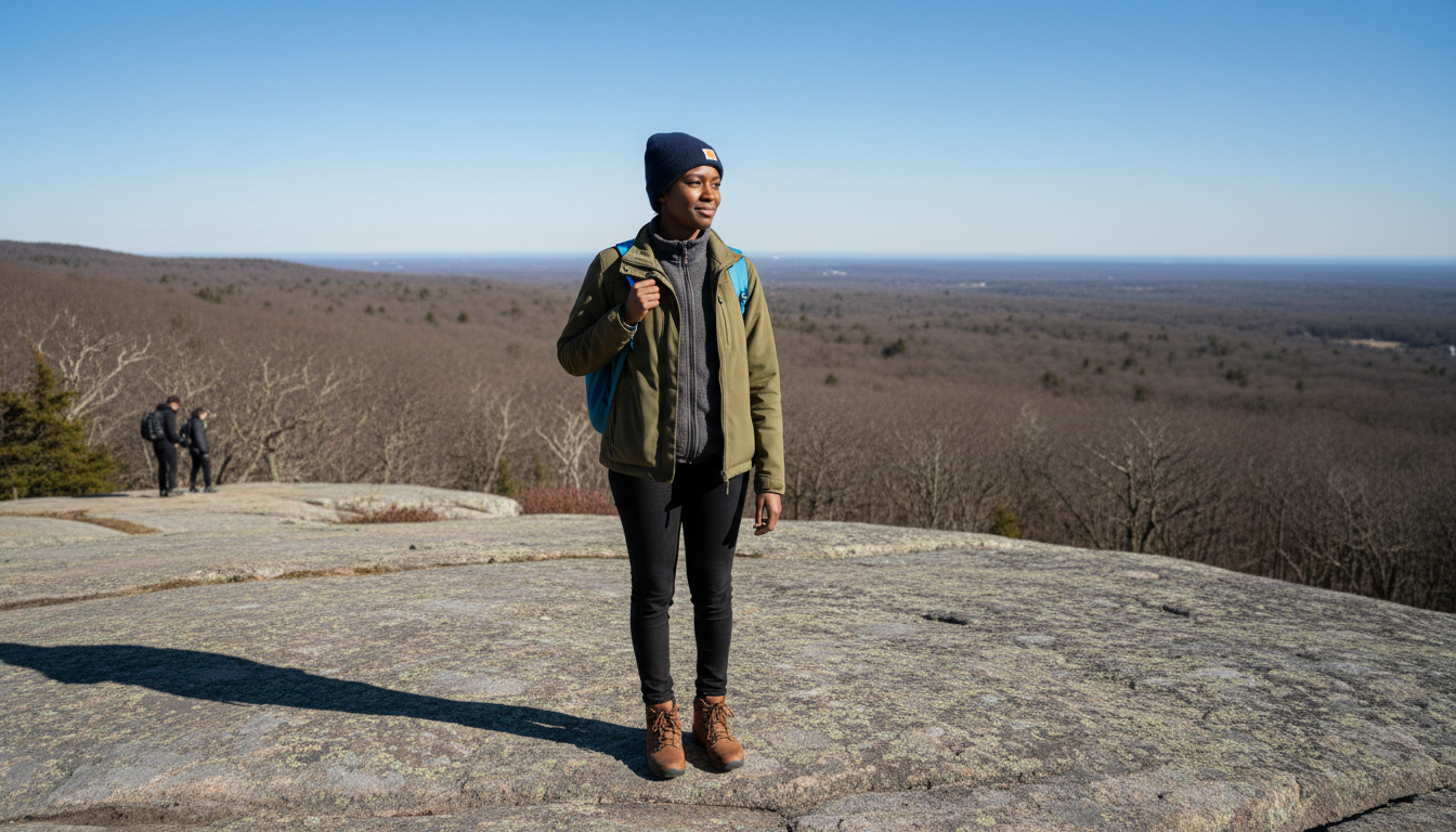
The best hiking near Boston is closer than most people think, and a lot of it is reachable without a car. The Middlesex Fells starts a short walk from an Orange Line station. The Blue Hills, the largest open space this close to the city, has buses running to its trailheads. Walden Pond is a train ride and a walk from North Station.
This guide covers where to hike, which station or bus gets you there, and what changes by season. It's written for people who live here and want a regular Saturday trail, not a once-a-year drive to New Hampshire.
Middlesex Fells Reservation
Getting there: Orange Line to Oak Grove, then about a 15-minute walk
The Fells covers parts of Medford, Malden, Melrose, Stoneham and Winchester, with roughly 100 miles of trails through woods, ridges and around reservoirs. For a city dweller it's the most useful hiking area in the region, because you can be on a trail within twenty minutes of getting off the train.
From Oak Grove, head out on the Washington Street side and walk north. The Friends of the Fells puts the walk at about 15 minutes. The eastern end of the Cross Fells Trail starts near the station, and the Gate 58 entrance is a 10- to 15-minute walk.
The west side of the Fells is reachable too. Take the Orange Line to Wellington and the 100 bus to the Fellsway West stop near Ridgeway Road. The Bellevue Pond entrance is a short walk from there.
The Fells trails cross each other constantly and the signage varies. Bring a map or download one before you go. The Friends of the Fells plan-a-trip page has the current trail maps and access points.
Blue Hills Reservation

Getting there: Red Line to Ashmont or Quincy Center, then a bus to the trailheads
The Blue Hills is the big one, a chain of hills south of the city with long views back to the skyline from the top of Great Blue Hill. It's also the one where transit takes the most planning.
Three MBTA buses reach different parts of the reservation, according to the Friends of the Blue Hills:
- The 240, from Ashmont, stops at trailheads along Randolph Avenue in Milton
- The 238, from Quincy Center, stops at Shea Rink in Quincy
- The 716 runs from Mattapan (the Mattapan trolley from Ashmont gets you there) along the west side of the reservation
Getting to Houghton's Pond, the swimming and picnic area, has historically been the hard part. A weekend 716 extension to the pond started as a pilot and returned in 2026, running on weekends from late May to mid-October. Check the current MBTA schedule before relying on it, because the details have changed year to year.
The Quincy Quarries, part of the same reservation, are a popular spot for top-rope rock climbing on the old quarry walls. The DCR lists climbing as one of its activities.
Arnold Arboretum
Getting there: Orange Line to Forest Hills
The Arboretum is the gentlest entry on this list and the easiest to reach. It's 281 acres of trees and paths in Jamaica Plain, free and open every day, a short walk from Forest Hills. Bussey Hill and Peters Hill give you a real climb and a view without leaving the city.
The Arnold Arboretum is also the place to go when you have an hour rather than a day. If you live in Jamaica Plain or are thinking about it, our Jamaica Plain guide covers the neighborhood.
Walden Pond
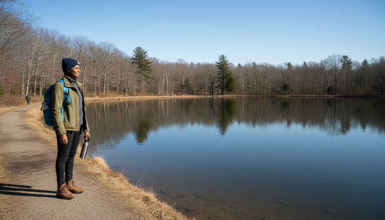
Getting there: Fitchburg Line from North Station to Concord, then about a mile and a half on foot
Walden Pond is a state reservation now, with a loop trail around the pond and a replica of Thoreau's cabin. Estimates of the walk from Concord station range from about 1.4 to 1.7 miles depending on where you count from, so plan for 30 to 45 minutes on foot, mostly on quiet residential streets.
On weekends the Commuter Rail's $10 weekend pass covers the train. Summer weekends at Walden get very busy, and the state closes the reservation to new visitors, including those on foot, when the parking lot fills. Arrive early even if you come by train.
Drumlin Farm
Getting there: Fitchburg Line to Lincoln, then about a 15-minute walk
Mass Audubon's Drumlin Farm is a working farm and wildlife sanctuary with walking trails, one stop before Concord on the same line. It's a good choice for an easier day, or for combining with Walden on the same trip.
Hammond Pond and Webster Woods
Getting there: Green Line D branch to Chestnut Hill
Hammond Pond Reservation and the neighboring Webster Woods are two small wooded areas in the Chestnut Hill part of Newton, a short walk from the station. The trails are short, but the rock outcrops near Hammond Pond are popular for bouldering, and it's a quick escape for anyone living along the D branch. Our Newton guide covers the area around it.
Hiking inside the city
You don't need to leave Boston to put in real miles. Walking City Trails maps three long routes through parks, urban wilds and beaches in and around the city, about 149 miles in total. The shortest, the Walking City Trail, runs about 27 miles from the Neponset River in Mattapan to the Bunker Hill Monument. You can walk any section of it as a day hike. The Walking City Trails site has maps and directions.
The City of Boston also runs Hike Boston, a series of guided daytime walks in the city's parks and urban wilds. Dates are posted on the city's Parks and Recreation pages.
By season
Spring: Trails are muddy into April, especially in the Fells. Waterproof shoes help.
Summer: Go early. Walden and the Blue Hills fill up on hot weekends, and shade is uneven on the exposed summits.
Fall: The best season for all of these, and the busiest. Weekday mornings are the quiet window.
Winter: Days are short, so start early and plan to be out well before sunset. Packed snow turns icy on popular trails, and a cheap pair of traction cleats makes January hiking possible. For the rest of the season's free options, see our guide to free things to do in Boston.
Living near a trail
How often you actually go hiking has a lot to do with how far the trailhead is from your door. An Orange Line apartment puts the Fells and the Arboretum each a train ride and a short walk away. If being near a station matters, Spot Easy lets you search Boston rentals within a set distance of a station, area or address, so you can start from the station you would use for the trail and see what is nearby.