

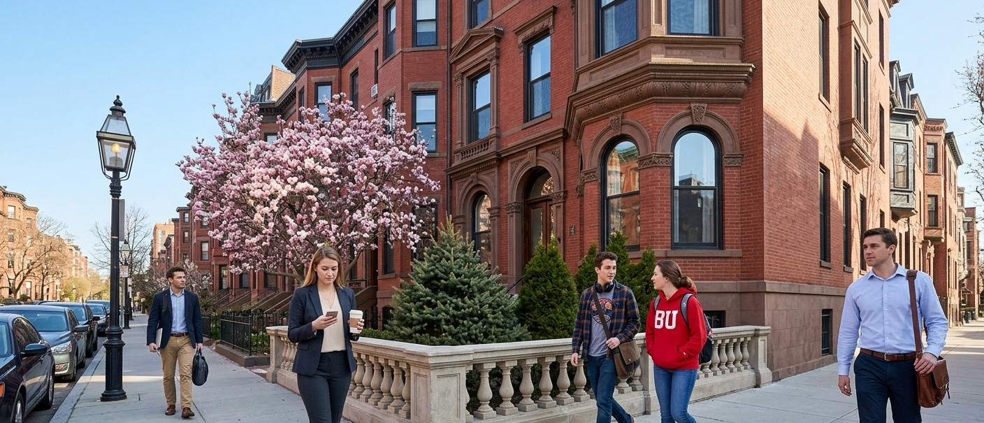
Back Bay carries a neighborhood Walk Score of 97, the 7th-highest of any neighborhood in Boston, and a genuine Walker's Paradise by any measure. But "97" is a neighborhood-wide average, and Back Bay is bigger and more varied than that single number suggests. It runs from the Charles River to the South End border, and from the Public Garden out to Kenmore. Walkability within that stretch isn't perfectly even. This guide breaks Back Bay down street by street, using individual, verified Walk Score data rather than treating the whole neighborhood as one block.
Key features of a walkable Back Bay block
Back Bay's walkability comes from an unusual source for Boston: an actual street grid. Laid out in the 19th century on filled land, it's one of the only parts of the city with straight, numbered cross-streets instead of the tangled colonial-era layout found in the North End or Beacon Hill. That grid, combined with the Green Line running underneath most of it and a dense retail spine along Newbury and Boylston Streets, is what pushes Back Bay's scores so high almost everywhere, with some genuine variation depending on exactly which block you're on.
Back Bay's overall Walk Score
At 97, Back Bay sits just behind the South End (also 97, ranked 6th) and well behind the top of the citywide list, where Beacon Hill and Chinatown-Leather District tie for 1st at 99 and the North End follows close behind at 3rd, also with a 99. The table below breaks that average down into four specific parts of the neighborhood, using individual location data rather than the single neighborhood-wide figure.
| Back Bay area | Walk Score | Transit Score | Bike Score |
|---|---|---|---|
| Back Bay Station / South Back Bay | 99 | 99 | 90 |
| Copley Square | 99 | 98 | 86 |
| Newbury Street | 100 | 95 | 87 |
| Bay State Road (west end, near BU) | 81–96 | — | — |
Figures reflect individual, verified walkscore.com location data within Back Bay, not a separate official sub-neighborhood ranking. Back Bay is scored as one neighborhood (97) by Walk Score.
Back Bay, block by block
Newbury Street
Newbury Street posts the single highest score of any stretch of Back Bay: a perfect 100 Walk Score, plus a 95 Transit Score. It's Back Bay's primary retail corridor: boutiques, restaurants, and galleries lined up for eight consecutive blocks, and it's genuinely possible to run every errand you need without crossing onto a side street. The Green Line's B, C, and D branches are all within a few minutes' walk via Arlington, Copley, or Hynes Convention Center.
Copley Square
The Copley Square area scores 99 for walkability and 98 for transit, among the highest transit numbers anywhere in the city. This is Back Bay's civic and architectural core: the Boston Public Library, Trinity Church, and the Copley Place and Prudential retail complexes all sit within a couple of blocks of each other, with the Green Line's Copley station serving the square directly.
Back Bay Station and South Back Bay
The area around Back Bay Station, where Massachusetts Avenue meets Columbus Avenue near the South End border, scores 99 for walkability and a near-perfect 99 for transit, reflecting a genuinely unusual convergence: the Orange Line, Commuter Rail (Providence/Stoughton, Framingham/Worcester, Franklin, and Needham Lines), and multiple bus routes all meet at a single station here.
Bay State Road
The western edge of Back Bay, along the Charles River near Boston University, tells a different story. Individual addresses on Bay State Road range from 81 to 96 depending on exactly where they sit, still solidly walkable, but the widest spread of any stretch in this guide. Addresses closer to Kenmore Square and the BU campus core score higher; those further down toward the river's quieter residential stretch score somewhat lower. It's a useful reminder that even within one of Boston's best-scoring neighborhoods, walkability isn't perfectly flat.
Benefits of walkability in Back Bay
Health and lifestyle advantages
With nearly every daily errand reachable on foot across most of the neighborhood, Back Bay makes incidental physical activity close to unavoidable: a walk to the T, to Newbury Street, or to the Charles River Esplanade covers ground that would otherwise mean a car trip in most American cities.
Environmental impact
Back Bay's near-uniform high walkability, paired with excellent Green and Orange Line access, means a meaningful share of residents can realistically go car-free, cutting emissions at a neighborhood scale.
Economic benefits
Walkability here comes at a real premium: Back Bay is consistently one of Boston's most expensive rental markets. But residents also save meaningfully on transportation costs they'd otherwise carry in a less walkable neighborhood: no parking, no daily gas, minimal car maintenance.
Public transportation and accessibility
The Green Line and beyond
Back Bay is unusually well-served for a single neighborhood: the Green Line's B, C, D, and E branches all pass through or near it, the Orange Line serves Back Bay Station directly, and Commuter Rail connects from the same station. Few Boston neighborhoods offer this much rail redundancy in one place.
Biking through Back Bay
Bike Scores across the neighborhood's core stretches run from the mid-80s to low 90s, supported by bike lanes along Commonwealth Avenue and the Southwest Corridor connection near Back Bay Station. Bluebikes stations are dense along Newbury and Boylston Streets specifically.
Connectivity to the rest of Boston
Back Bay's transit density means it's as much a hub as a destination: a few Green Line stops reach Fenway or downtown, the Orange Line reaches the South End and beyond in one direction, and Beacon Hill is a short walk or single stop away in the other.
Living in Back Bay: what to expect
Safety and walkability
Back Bay's dense foot traffic along Newbury and Boylston Streets, combined with well-lit, actively used sidewalks well into the evening, generally supports a strong everyday sense of safety compared to quieter, car-oriented parts of the city.
Rental prices
Back Bay is one of Boston's most expensive neighborhoods to rent in, and the premium tracks closely with walkability: the highest-scoring stretches, Newbury Street and Copley Square, also carry the highest rents. Active Back Bay listings on Spot Easy currently average around $3,900 a month, with one-bedrooms typically closer to $3,500. Bay State Road, with its wider score range, tends to offer somewhat more accessible pricing at its lower-scoring end.
Amenities and services
Newbury Street covers retail and dining; Copley Square covers civic and cultural institutions plus the Prudential and Copley Place shopping complexes; Back Bay Station covers regional and citywide transit access. Bay State Road, closer to BU, leans more residential and quieter, with fewer ground-floor businesses than the neighborhood's eastern half.
How Back Bay compares to Boston's other top neighborhoods
What sets Back Bay apart from Boston's other top-scoring neighborhoods is its grid layout. Beacon Hill and the North End are walkable partly because of their tangled, pre-automobile street patterns, while Back Bay achieves a similar result through deliberate 19th-century planning. For a renter choosing between them, the practical difference often comes down to this: Back Bay's straight streets and retail corridor make it easier to navigate for newcomers, while Beacon Hill and the North End reward familiarity with their layout. For the full citywide picture, see how Back Bay stacks up against Boston's other top neighborhoods.
Finding a no-broker-fee rental on Back Bay's most walkable blocks
Back Bay is one of the most competitive rental markets in Boston, and Newbury Street and Copley Square in particular see broker fees stacked on top of already-high rents. Spot Easy currently lists 150+ active Back Bay apartments, searchable by proximity to Green Line and Orange Line stops, with no broker fee on partner units, a meaningful difference in a neighborhood where the walkability premium is already real.
FAQ
What is Back Bay's overall Walk Score?
97, making it the 7th most walkable neighborhood in Boston.
What's the most walkable street in Back Bay?
Newbury Street, with a Walk Score of 100.
Is all of Back Bay equally walkable?
Mostly, but not entirely. The eastern and central parts of the neighborhood, Newbury Street, Copley Square, and the area around Back Bay Station, all score 99 or 100. Bay State Road, at the western edge near Boston University, ranges more widely, from the low 80s to mid-90s depending on the specific address.
How does Back Bay compare to Beacon Hill or the North End?
Beacon Hill and the North End both edge out Back Bay slightly, at 99 each versus Back Bay's 97 — though individual Back Bay blocks like Newbury Street and Back Bay Station score just as high.
What T lines serve Back Bay?
The Green Line (B, C, D, and E branches) serves most of the neighborhood, the Orange Line serves Back Bay Station directly, and Commuter Rail also connects from Back Bay Station.
Is Back Bay bikeable?
Yes — Bike Scores across the neighborhood's core run from the mid-80s to low 90s, supported by bike lanes on Commonwealth Avenue and dense Bluebikes coverage along Newbury and Boylston Streets.