

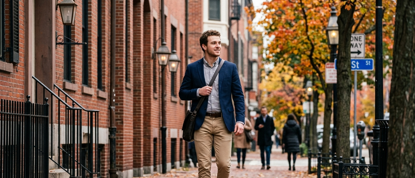
Boston is consistently ranked among the most walkable large cities in the United States, with an overall Walk Score of 83 — a "Very Walkable" rating where most daily errands can be done on foot. But Boston isn't one uniform grid the way a smaller city can be. It's a patchwork of distinct, centuries-old neighborhoods, and walkability swings noticeably depending on which one you're in. A few (Beacon Hill, the North End) sit at the very top of the national scale. Others are still solidly walkable but come with a different rhythm. This guide breaks down what walkability actually looks like neighborhood by neighborhood, so you can figure out where it matters most for how you want to live.
Key features of a walkable Boston neighborhood
A handful of things separate Boston's most walkable pockets from the rest of the city. Density and mixed-use development matter most — neighborhoods where housing, shops, restaurants, and transit stops sit close together naturally pull daily life onto foot traffic instead of into a car. Boston's oldest neighborhoods, many laid out well before cars existed, tend to score highest for exactly this reason: narrow streets, short blocks, and everything within a few minutes' walk. Reliable rapid transit access compounds it further, since a neighborhood doesn't need to be self-contained if the T can get you everywhere else quickly.
Boston's overall Walk Score
At 83, Boston ranks as the third most walkable large city in the country, trailing only San Francisco and New York. That citywide number is an average, though, and it flattens out a wide range — Boston's most walkable neighborhoods score in the high 90s, while some outer neighborhoods sit closer to the 60s and 70s. The table below shows how six well-known Boston neighborhoods actually compare.
| Neighborhood | Walk Score | Transit Score | Bike Score | Boston Rank |
|---|---|---|---|---|
| Beacon Hill | 99 | 100 | 72 | #1 |
| North End | 99 | 99 | 86 | #3 |
| Back Bay | 97 | 96 | 87 | #7 |
| South End | 97 | 93 | 92 | #5 |
| Fenway-Kenmore | 95 | 93 | 91 | #9 |
| Jamaica Plain | 86 | 73 | 87 | #25 |
Scores reflect walkscore.com's published neighborhood rankings for Boston, MA.
Boston's most walkable neighborhoods
Beacon Hill
Beacon Hill holds the #1 spot in Boston with a Walk Score of 99 and a Transit Score of 100, a genuine Walker's Paradise. Its gaslit, cobblestone streets were laid out long before cars, and everything from the Charles Street shops to Boston Common sits within a short walk. On the transit side, Beacon Hill sits within easy reach of the Red Line (Charles/MGH) and the Green Line, with the Orange Line reachable via a short walk or transfer at State or Downtown Crossing, putting nearly the entire T system a few minutes away on foot. Bluebikes stations are well-distributed around the neighborhood's edges. For groceries and errands, residents lean on Charles Street's small-format shops and the Whole Foods just across the neighborhood's border on Cambridge Street.
North End
Boston's oldest residential neighborhood ties for the city's highest walkability, with a Walk Score of 99 and a Transit Score of 99. It's dense, historic, and built around narrow streets where a car is more liability than convenience. The North End connects to the Orange, Green, and Blue Lines via Haymarket and Government Center, with the Blue Line's Aquarium stop close by as well. Its Bike Score of 86 is the highest among Boston's top-ranked neighborhoods. Where the North End differs from the others on this list is grocery format — instead of a large supermarket, residents rely on a dense cluster of Italian markets, bakeries, and produce stands along Hanover and Salem Streets, which for daily errands works just as well.
Back Bay
Back Bay comes in at #7 citywide with a Walk Score of 97 and a Transit Score of 96, thanks to a rare Boston grid layout and dense Green and Orange Line access. For the full block-by-block breakdown, including which stretches score highest and where the neighborhood's walkability actually dips, see our guide to walkability in Back Bay.
South End
The South End ties closely with Back Bay, ranking #5 citywide with a Walk Score of 97 and the highest Bike Score on this list at 92. It's Boston's largest Victorian-era neighborhood, with brownstone-lined streets and a dense mix of restaurants and small businesses. The Orange Line serves the South End at Back Bay and Massachusetts Avenue stations, and the Silver Line's bus rapid transit runs directly through the neighborhood along Washington Street, connecting to Downtown Crossing in one direction and Nubian Square in the other. For groceries, the South End has a Whole Foods and Foodie's Urban Market, plus the seasonal SoWa open-air markets.
Fenway-Kenmore
Fenway-Kenmore ranks #9 in Boston with a Walk Score of 95 and a Transit Score of 93, officially a Rider's Paradise for public transit access. The neighborhood is anchored by Kenmore Square, where the Green Line's B, C, and D branches converge, while the Green Line's E branch serves the Museum of Fine Arts and Longwood Medical Area stops further south. The Orange Line's Ruggles station is also within reach. With a Bike Score of 91, Fenway-Kenmore is one of Boston's most bikeable neighborhoods as well. Grocery options include a Star Market and a Trader Joe's near Kenmore Square, serving the neighborhood's dense student and young-professional population.
Jamaica Plain
Jamaica Plain is the outlier on this list — still solidly walkable at a Walk Score of 86, but noticeably lower than the other five, and ranking #25 citywide. It's also the most internally varied: areas around Washington Street and Green Street score well into the 80s, while sections closer to Jamaica Hills and the Pond drop into the 60s and are better described as "somewhat walkable." JP is served by the Orange Line at Stony Brook, Green Street, and Forest Hills, plus Commuter Rail from Forest Hills. Its Bike Score of 87 reflects the Southwest Corridor's dedicated bike path, which runs the length of the neighborhood. For groceries, JP has a Whole Foods, a Stop & Shop, and Hi-Lo Foods along the Centre Street/South Street corridor.
Benefits of walkability in Boston
Living in a walkable Boston neighborhood brings real advantages that go beyond convenience — health, environmental, and financial benefits all follow from being able to leave the car at home.
Health and lifestyle advantages
Walking as a routine part of daily life (to the grocery store, to the T, to dinner) adds up to meaningful physical activity without requiring a dedicated workout. It's also associated with lower rates of chronic disease and improved mental well-being. Boston's walkable neighborhoods make this almost automatic: errands that would require driving elsewhere become a five- or ten-minute walk.
Environmental impact
Every trip taken on foot or by transit instead of by car reduces emissions. Boston's dense, walkable core means many residents in neighborhoods like Beacon Hill, the North End, and Back Bay can go weeks without needing a car at all, which adds up across a population of this size.
Economic benefits
Walkable neighborhoods tend to command a premium — but they also save residents money in a different way, on gas, parking, insurance, and maintenance that a car-dependent lifestyle requires. Local businesses benefit too, since foot traffic in dense neighborhoods translates directly into customers.
Public transportation and accessibility
The MBTA subway and bus network
Boston's walkability is inseparable from the MBTA. The Red, Orange, Green, and Blue Lines cover the neighborhoods in this guide directly, and the bus network, including the Silver Line's bus rapid transit through the South End, fills in the gaps between subway stops. This is a major part of why Boston's Transit Scores run so high: even neighborhoods that aren't perfectly self-contained are still just a short walk from frequent, reliable service to the rest of the city.
Biking and Bluebikes
Boston's bike-share system, Bluebikes, has expanded significantly across the neighborhoods covered here, with stations concentrated in Beacon Hill, Back Bay, the South End, the North End, and Fenway-Kenmore, and growing coverage reaching into Jamaica Plain along the Southwest Corridor. Dedicated bike infrastructure, protected lanes downtown and the Southwest Corridor path through Jamaica Plain, makes biking a realistic option for trips a bit too long to walk.
Connectivity across neighborhoods
What makes Boston's walkable neighborhoods work particularly well together is how easy it is to move between them. A short Green Line or Orange Line ride connects Back Bay to the South End, the North End to Beacon Hill, or Fenway to downtown, so residents aren't limited to just their immediate neighborhood for daily life.
Living in Boston: what to expect
Safety and walkability
Boston's most walkable neighborhoods also tend to benefit from more foot traffic and street-level activity, which generally supports a stronger sense of everyday safety compared to less active areas — well-lit streets and consistent activity make a real difference for anyone walking after dark.
Rental prices in walkable areas
Boston's most walkable neighborhoods are also among its most expensive. Rent doesn't track walkability perfectly across these neighborhoods. The North End actually commands the highest average rents in the city, around $4,460 a month, even though it isn't always the first neighborhood people associate with premium pricing. The South End follows close behind at roughly $4,200, with Back Bay just under $3,900. Jamaica Plain, despite its reputation as a more affordable alternative, actually averages higher than Beacon Hill — about $3,700 versus $3,500 — likely reflecting JP's larger unit sizes and family-friendly housing stock. Fenway-Kenmore remains the most accessible of the six, averaging around $3,300, helped by its dense mix of studios and one-bedrooms near the colleges.
Amenities and services
Every neighborhood on this list offers strong access to restaurants, cafes, and essential services within walking distance — the specific mix just varies. The North End leans into small specialty shops and food culture; the South End and Back Bay lean into a broader retail and dining mix; Jamaica Plain offers a more neighborhood-scale, less touristed version of the same convenience.
Comparisons with other Massachusetts cities
Boston vs. Somerville
Somerville edges out Boston on paper with a citywide Walk Score of 89 against Boston's 83 — but that comparison undersells Boston's best neighborhoods. Beacon Hill and the North End, at 99 each, out-score anywhere in Somerville. The real difference is consistency: Somerville is more uniformly walkable across the whole city, while Boston has a wider spread between its most and least walkable areas.
Boston vs. Cambridge
Cambridge posts a citywide Walk Score of 90, putting it between Boston's citywide average and its top neighborhoods. Like Boston, Cambridge benefits enormously from Red Line access and a dense, mixed-use urban form, particularly around Harvard Square and Central Square.
Other walkable areas in Massachusetts
Beyond the three biggest cities, pockets of Brookline and Newton also register strong walkability, offering a more suburban setting without giving up much pedestrian convenience. But for the highest walkability scores in Massachusetts, Boston's own Beacon Hill, North End, Back Bay, and South End remain hard to beat.
Finding a no-broker-fee rental in Boston's most walkable neighborhoods
If you're specifically hunting in Beacon Hill, the North End, Back Bay, or the South End, the search itself can be its own obstacle — these are some of the most competitive, highest-demand corners of the Boston rental market. Spot Easy lists Boston apartments searchable by proximity to MBTA and Commuter Rail stops, and you can filter for no-broker-fee listings, which matters even more in neighborhoods where rents already run high. If walkability is the priority, that's exactly the kind of search Spot Easy is built for.
FAQ
What is Boston's overall Walk Score?
Boston has a citywide Walk Score of 83, rated "Very Walkable," and ranks as the third most walkable large city in the United States.
What is the most walkable neighborhood in Boston?
Beacon Hill, with a Walk Score of 99 and a Transit Score of 100.
Can you live in Boston without a car?
In neighborhoods like Beacon Hill, the North End, Back Bay, and the South End, yes, daily errands, groceries, and commuting are all realistically doable on foot and via the MBTA. It gets harder in neighborhoods with lower Walk Scores, where a car or heavier transit reliance becomes more useful.
Is Jamaica Plain walkable?
Yes, with a Walk Score of 86 overall, though it varies more within the neighborhood than the others on this list — areas near Washington Street and Green Street score well, while sections near Jamaica Hills and the Pond are less walkable.
Is Boston more walkable than Cambridge or Somerville?
By citywide average, no. Somerville (89) and Cambridge (90) both edge out Boston's citywide average of 83. But Boston's top neighborhoods, like Beacon Hill and the North End at 99, out-score any neighborhood in either city.
Do Boston's walkable neighborhoods have bike-share access?
Yes. Bluebikes serves Beacon Hill, Back Bay, the South End, the North End, and Fenway-Kenmore with dense station coverage, with expanding access into Jamaica Plain along the Southwest Corridor.